REF-4492Free with an account
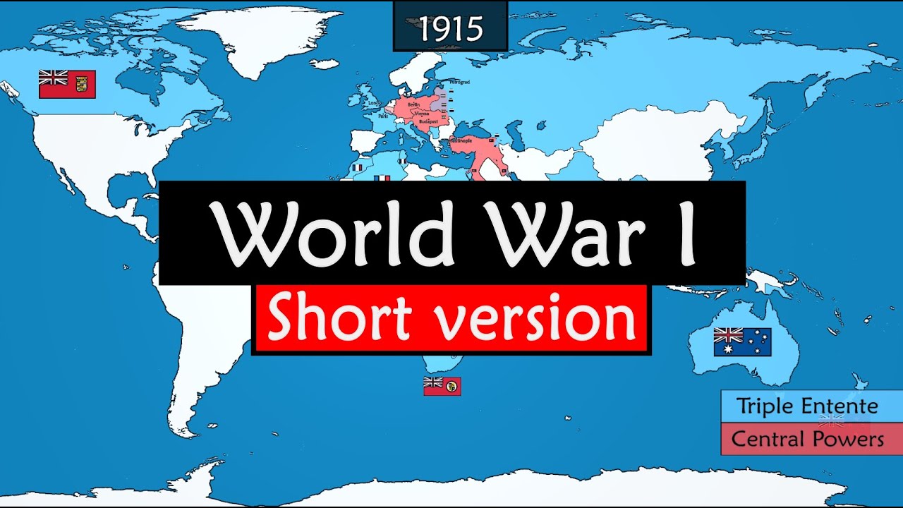
World War I in Animated Maps
A measured six-minute excerpt makes a global conflict legible through one evolving, colour-coded political map.
Maker @GeoHistoryFor GeoHistory
Sign up free to open this film.
A free account opens all 4,099 films: the player, the measured cut map, frame sheets and the first plates of every blueprint.
Takes an email or Google. No card.